
China’s experimental Shijian-31 satellite is operating in an unusual orbit that lets it progressively survey the geostationary belt, SpaceNews reported, citing analyses by Integrity ISR and ComSpOC.
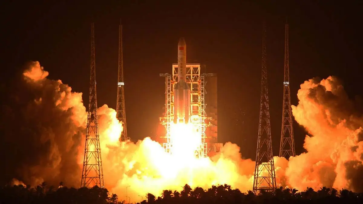
The spacecraft launched on a Long March 3B from the Xichang spaceport on June 16. The China Aerospace Science and Technology Corporation described its mission as space-environment exploration and released no images of the satellite.
Shijian-31 uses a variation of the highly elliptical Molniya orbit at an inclination of about 63.4 degrees. Its apogee is positioned over the equator, giving the spacecraft prolonged views of the region used by geostationary communications, broadcasting and weather satellites.
The orbital period is about 12.5 hours. Its viewing point shifts by roughly 15.7 degrees of longitude on every orbit, allowing it to sweep the entire geostationary belt in about 23 days. Apogee is around 39,900 km, while the belt lies about 35,786 km above the equator.
“With SJ-31, Chinese space operators have displayed orbital mechanics mastery and more than a little creativity,” Integrity ISR said in its post.
Shijian-31 will also be difficult to observe from Earth: its perigee is just under 2,000 km and it remains thousands of kilometres from inspector spacecraft in geostationary orbit. Integrity ISR calculated that a retrograde burn of about 50 metres per second at perigee could lower apogee to roughly 36,671 km and take the satellite directly through the GEO neighbourhood.
“The mission is pretty unusual and hard to characterize with limited information. SJ-31 has only been up in orbit for about a month so perhaps as time goes on, more details will be revealed via its behavior or activities,” said Victoria Samson of the Secure World Foundation.
Experts see the mission in the context of growing interest in inspector satellites and persistent awareness of activity in geostationary orbit. Shijian-31’s payload and any future manoeuvres have not been publicly disclosed.