Yandex has updated Tashkent panoramas in Yandex Maps with support from the city administration, UzA reported.
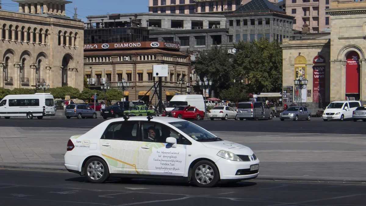
The panorama car covered 3,400 kilometres on streets and roads across the capital during the shoot. About 130,000 panoramas were produced as a result.
The update includes New Uzbekistan Park, Magic City, Tashkent City Mall and the Olympic Village. New panoramas also cover Amir Temur Avenue and Shota Rustaveli, Babur and Furkat streets.
The consistent development of digital infrastructure is an important part of efforts to improve Tashkent’s urban environment. Up-to-date panoramic images make it possible to accurately reflect the changes taking place in the city, including new infrastructure and the development of the street and road network. Implementing this project jointly with Yandex Uzbekistan will make information about the city more accessible, improve navigation for residents and visitors, and support the further introduction of technological solutions in municipal services — Abdurakhman Abdurashitovich Bakhtiyev, deputy mayor of Tashkent
Users can inspect a route in advance, find a building entrance, check an organisation’s location and view nearby landmarks. The panoramas also allow them to compare how familiar streets and districts have changed.
Virtual views are available for Amir Temur Square, Mustaqillik Square, Tashkent Television Tower, Chorsu Bazaar, the Hazrati Imam complex and Minor Mosque.